If you look at STAR’s Maps page, you will see that both the page and the maps have not been kept up to date. The page links to image files, and usually a pdf from which the image was created. These are static maps, that don’t change, and must be manually replaced when necessary. STAR does not have the resources to do this. So we are experimenting with using ArcGIS Online capabilities to present maps and apps which include maps, including Atlas, Gallery, and StoryMaps. This service is not free, so there will be a tradeoff between the ease of keeping maps up to date, and the expense of offering maps through ArcGIS Online.
Not only transit routes and frequencies change over time, but demographics are updated. These include population density, median household income (MHI), low income high minority (LIHM), collision locations, and employment. It is time consuming to update data (features) and then ‘print’ new maps.
STAR also makes maps of alternative ideas for light rail and transit routes.
All of these are items that can be offered online, changing as data sources are updated.
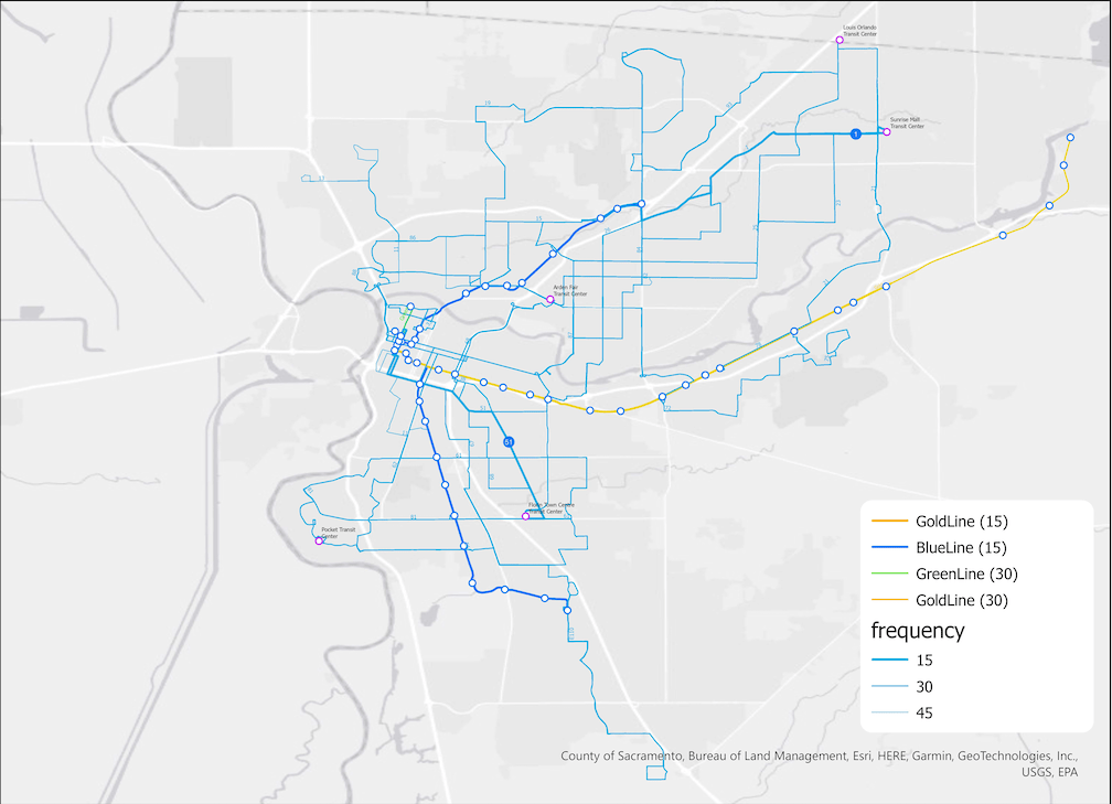
An example map, embedded in an Instant App basic, is linked below. Unfortunately, we haven’t figured out yet how to embed these directly in blog posts.